

Preview
Creation Date
Spring 2026
Description
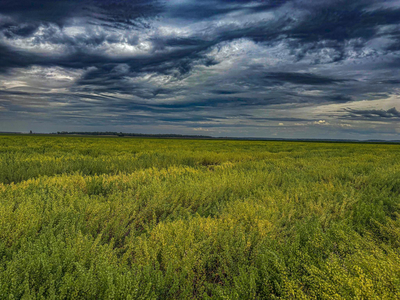
Pennycress (Thlaspi arvense L.) is an emerging oilseed crop with strong potential as a sustainable biofuel source. However, evaluating key agronomic traits across research plots remains a labor-intensive and time-consuming process. This study explores the use of drone-based multispectral imagery as a more efficient and scalable alternative for predicting and monitoring pennycress performance. Weekly drone flights were conducted at the Western Illinois University research farm from October 2024 to June 2025. Images were processed into orthomosaics, and vegetation indices were extracted to assess canopy coverage and plot health. Random Forest Regression models using images from critical growth stages predicted yield and classified plots based on a 1,500 lbs/acre threshold. Predictive models achieved R² values up to 0.950 and classification accuracies above 91%. The submitted image shows the vast, uniform pennycress field, illustrating how drone technology reduces manual data collection while improving accuracy in agricultural research.